Friday, April 28, 2006

Fighting Terrorism


This photo may be a little dark, but it is a T Shirt Tommy got in Bandon. The words on the bottom say, "Fighting Terrorism since 1492".


Here are a few more photos from Bandon, as I exercise my new ability to post photos on this log:


This is the dock, with Tommy, Ellen and my Dad walking out towards the river. It was very cold that day.


And here we all are, enjoying eachother's company.

Sunday, April 23, 2006

Metallic Sweat Bee


Down at Pinnacles Park about an hour and a half south of me, there is one of the most diverse population of bees on the entire planet. There are around 400 different species of bees in the space a little smaller than the size of San Francisco.
There are steep hills and places to walk and many different flowers on the hillside- blues, yellows, pinks, purples- it's like a city for bees.
This one is the Metallic Sweat Bee.

I just really liked the name of it. There's got to be some use for the name "Metallic Sweat Bee". It seems like something from some kind of science fiction Star Wars robot society setting. It's actually a very pretty insect, although my first attempt at putting images on my blog didn't really show it in its best light. There are some much nicer pictures of it at a site called "What's that bug?"
Another interesting bee at Pinnacles is below:


This is the leaf-cutter bee. I was able to get a better picture of this one. These are solitary bees that build their own nests in rotten logs by carefully cutting pieces from leaves and using them as building materials for their nests.

They say that May is the best time to go down there and see the bees, when all the wildflowers are in bloom. That's pretty soon. I'll let you know if I make it down there, and if I do, I'll try to take pictures.

Saturday, April 15, 2006

Hard Cash Lane

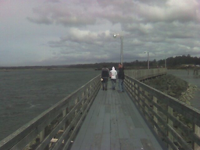
We recently went to visit family in Bandon Ore. We took Highway 5, and so exited at Highway 42 to go west to the coast and Bandon. Along this route, I learned more street and town names than I had ever heard of before.
First, we exited at Green, to shortly get to Tenmile. We then drove about 40 miles or so to get to Twomile. But to get there, we had to go past Remote. After we passed Remote, we were all the way in Norway. There were several bridges on the route, but only one sign that said "Bridge". It turns out that was the name of a town we passed through.
We passed Cow Creek Road, which is the route to get to the towns of Dad's Creek, Cornutt, Peck and Riddle (and of course, Cow Creek).
The streets are named anything you can think of, but the ones that stand out in my mind are "LEEP" and "HARD CASH LANE".
Somehow the street names don't show up on Mapquest. They're just nameless roads according to the map. But the streetsigns say otherwise.
I recommend a drive down Highway 42 in Oregon. Not only is the landscape beautiful, but it's the only way to see the many and varied streetnames of the Camas Valley.